ICAR06 - Topography and Cartography - Research
Ascolta

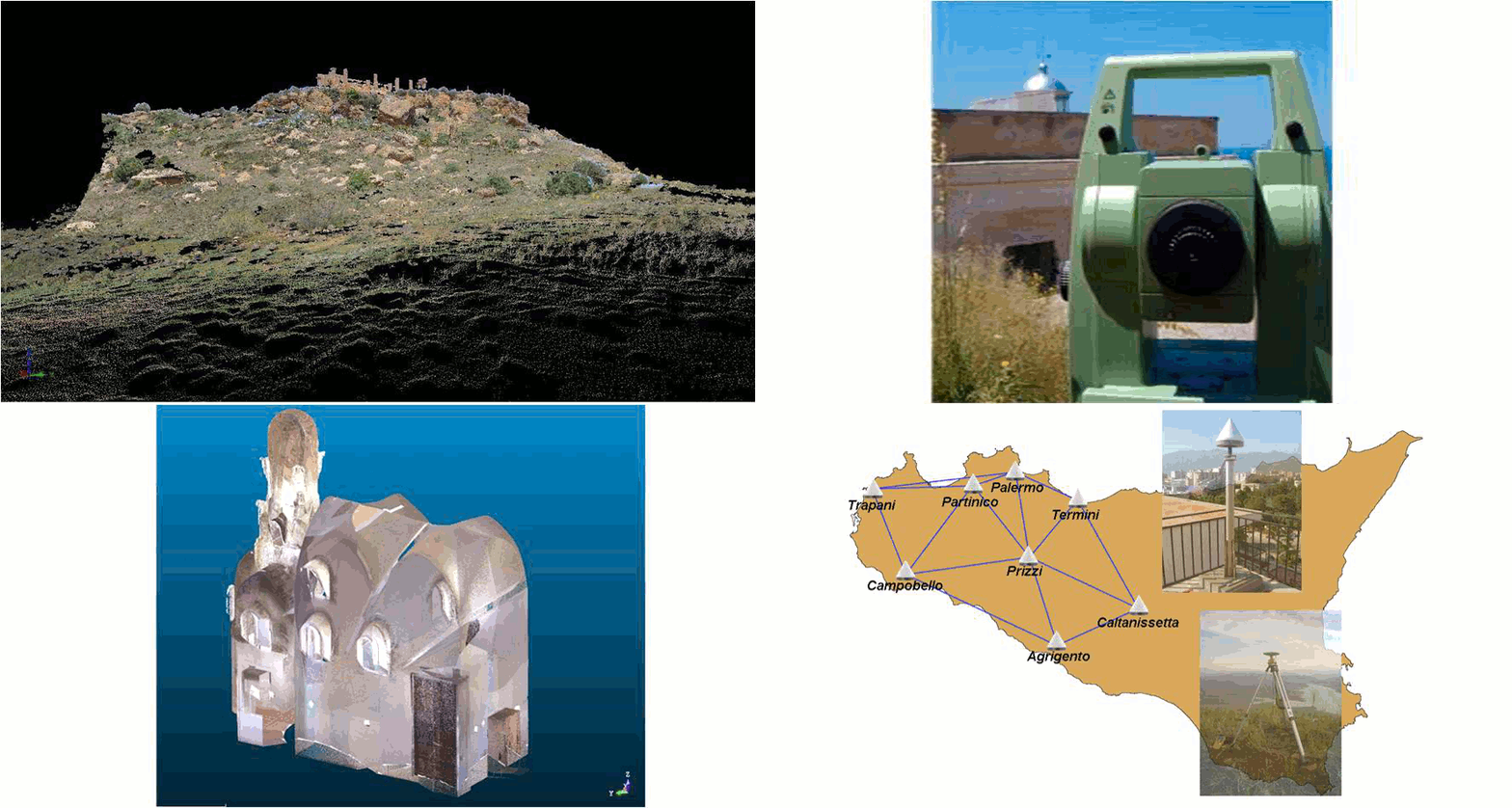
- Project, management and control of regional GNSS permanent networks;
- Photogrammetric and computer vision techniques for digital reconstruction and 3D modeling;
- Laser scanner survey and 3D modeling of environmental and Cultural Heritage;
- Remotely Piloted Aircraft Systems (RPAS)for photogrammetric survey of environmental and Cultural Heritage;
- Use of satellite images for cartography production; study of issues relating to cartographic derivation and production of 3D digital mapping models.
- Combined use of satellite images and LIDAR data for the extraction, using segmentation techniques, of data to be managed in a GIS system.
- Use of MMS (Mobile Mapping Systems) systems in road survey.
- PON03PE_00214_3 “NEPTIS – ICT-based solutions for augmented fruition and exploration of Cultural Heritage” - Scientific Director Dr. Mauro Lo Brutto
- PRIN2009 - Advanced techniques for survey, documentation and fruition of the archaeological site of ElaiussaSebaste - Scientific Director Prof. Benedetto Villa
- PRIN2008 - Advanced methodologies for survey, documentation and visualization of Cultural Heritage - Scientific Director Dr. Mauro Lo Brutto


